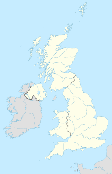
Tamanho desta visualização em PNG deste arquivo em SVG: 388 × 600 pixels. Outras resoluções: 155 × 240 pixels | 310 × 480 pixels | 497 × 768 pixels | 663 × 1 024 pixels | 1 325 × 2 048 pixels | 886 × 1 369 pixels.
Imagem numa resolução maior (arquivo SVG, de 886 × 1 369 pixels, tamanho: 703 kB)
Histórico do arquivo
Clique em uma data/horário para ver como o arquivo estava em um dado momento.
| Data e horário | Miniatura | Dimensões | Usuário | Comentário | |
|---|---|---|---|---|---|
| atual | 20h13min de 28 de abril de 2015 |  | 886 × 1 369 (703 kB) | wikimediacommons>NordNordWest | == {{int:filedesc}} == {{Information |Description= {{de|1=Positionskarte des Vereinigten Königreichs}} {{en|1=Location map of the United Kingdom}} {{Location map series N |stretching=170 |top=61.0 |bottom=49.0 |left=-11.0 |right=2.2 }} |Source={{Own u... |
Uso do arquivo
As seguintes 20 páginas usa este arquivo:


 " class="attachment-atbs-s-4_3 size-atbs-s-4_3 wp-post-image" alt="O que estudar para o enem 2023">
 " class="attachment-atbs-s-4_3 size-atbs-s-4_3 wp-post-image" alt="Qual melhor curso para fazer em 2023">
 " class="attachment-atbs-s-4_3 size-atbs-s-4_3 wp-post-image" alt="Enem: Conteúdos E Aulas On-Line São Opção Para Os Estudantes">
 " class="attachment-atbs-s-4_3 size-atbs-s-4_3 wp-post-image" alt="Como Fazer Uma Carta De Apresentação">
 " class="attachment-atbs-s-4_3 size-atbs-s-4_3 wp-post-image" alt="Como Escrever Uma Boa Redação">
 " class="attachment-atbs-s-4_3 size-atbs-s-4_3 wp-post-image" alt="Concurso INSS edital 2022 publicado">


