
Tamanho desta visualização em PNG deste arquivo em SVG: 450 × 456 pixels. Outras resoluções: 237 × 240 pixels | 474 × 480 pixels | 758 × 768 pixels | 1 011 × 1 024 pixels | 2 021 × 2 048 pixels.
Imagem numa resolução maior (arquivo SVG, de 450 × 456 pixels, tamanho: 586 kB)
| Descrição |
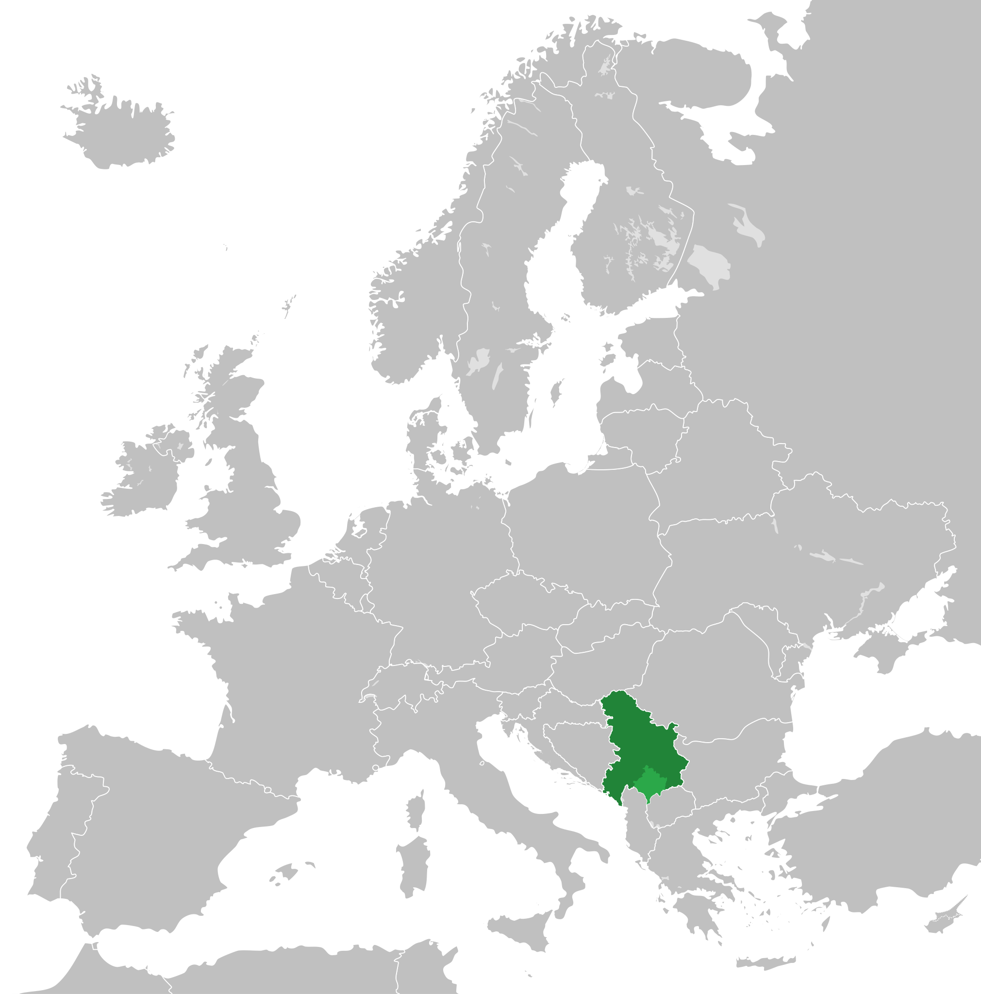
English: Map of the Federal Republic of Yugoslavia (1992-2003) and the State Union of Serbia and Montenegro (2003-2006).
Note: Following the adoption of Resolution 1244 on 10 June 1999, Kosovo was placed under a UN Interim Administration – de facto separating it from the rest of Yugoslavia. |
| Data | |
| Fonte | Own work, based upon File:Blank map of Europe.svg |
| Autor |
Este(a) desenho vetorial não especificado foi criado com Inkscape . |
| Permissão (Reutilizando este arquivo) |
A utilização deste arquivo é regulada nos termos da licença Creative Commons Atribuição-Partilha nos Termos da Mesma Licença 3.0 Unported.
|
Histórico do arquivo
Clique em uma data/horário para ver como o arquivo estava em um dado momento.
| Data e horário | Miniatura | Dimensões | Usuário | Comentário | |
|---|---|---|---|---|---|
| atual | 01h48min de 31 de agosto de 2020 | | 450 × 456 (586 kB) | wikimediacommons>Savasampion | Kosovo fixed |
Uso do arquivo
As seguinte página usa este arquivo:
 " class="attachment-atbs-s-4_3 size-atbs-s-4_3 wp-post-image" alt="O que estudar para o enem 2023">
 " class="attachment-atbs-s-4_3 size-atbs-s-4_3 wp-post-image" alt="Qual melhor curso para fazer em 2023">
 " class="attachment-atbs-s-4_3 size-atbs-s-4_3 wp-post-image" alt="Enem: Conteúdos E Aulas On-Line São Opção Para Os Estudantes">
 " class="attachment-atbs-s-4_3 size-atbs-s-4_3 wp-post-image" alt="Como Fazer Uma Carta De Apresentação">
 " class="attachment-atbs-s-4_3 size-atbs-s-4_3 wp-post-image" alt="Como Escrever Uma Boa Redação">
 " class="attachment-atbs-s-4_3 size-atbs-s-4_3 wp-post-image" alt="Concurso INSS edital 2022 publicado">


