
Tamanho desta visualização em PNG deste arquivo em SVG: 450 × 456 pixels. Outras resoluções: 237 × 240 pixels | 474 × 480 pixels | 758 × 768 pixels | 1 011 × 1 024 pixels | 2 021 × 2 048 pixels.
Imagem numa resolução maior (arquivo SVG, de 450 × 456 pixels, tamanho: 848 kB)
Descrição do arquivo


.svg)
.svg)
.svg)
.svg)
.svg)


.svg)
.svg)
.svg)


.png)
.png)


.svg)


.svg)

.svg)


.svg)
.svg)
.svg)
.svg)


.svg)
.png)


.svg)


.svg)
.svg)


.svg)


.svg)


Licenciamento
Eu, titular dos direitos autorais desta obra, publico-a nos termos da seguinte licença:
A utilização deste arquivo é regulada nos termos da licença Creative Commons Atribuição-Partilha nos Termos da Mesma Licença 3.0 Unported.
- Você é livre:
- para compartilhar – copiar, distribuir e transmitir a obra
- para remixar – para adaptar o trabalho
- Sob as seguintes condições:
- atribuição – Você deve dar crédito apropriado, fornecer um link para a licença e indicar se as alterações foram feitas. Você pode fazê-lo de qualquer maneira razoável, mas não de maneira alguma que sugira que o licenciador endossa você ou seu uso.
- compartilhar igualmente – Se você remixar, transformar ou construir sobre o material, você deve distribuir suas contribuições sob a licença igual ou compatível como o original.
Registro de upload original
This image is a derivative work of the following images:
- File:Europe_1789.svg licensed with Cc-by-sa-3.0
- 2013-04-14T03:44:26Z Alphathon 450x456 (858577 Bytes) Corrected some errors in northern Italy
- 2013-04-14T01:38:01Z Alphathon 450x456 (853881 Bytes) tweaked again
- 2013-04-14T01:36:10Z Alphathon 450x456 (853881 Bytes) Tweaked Holy Roman Empire border style
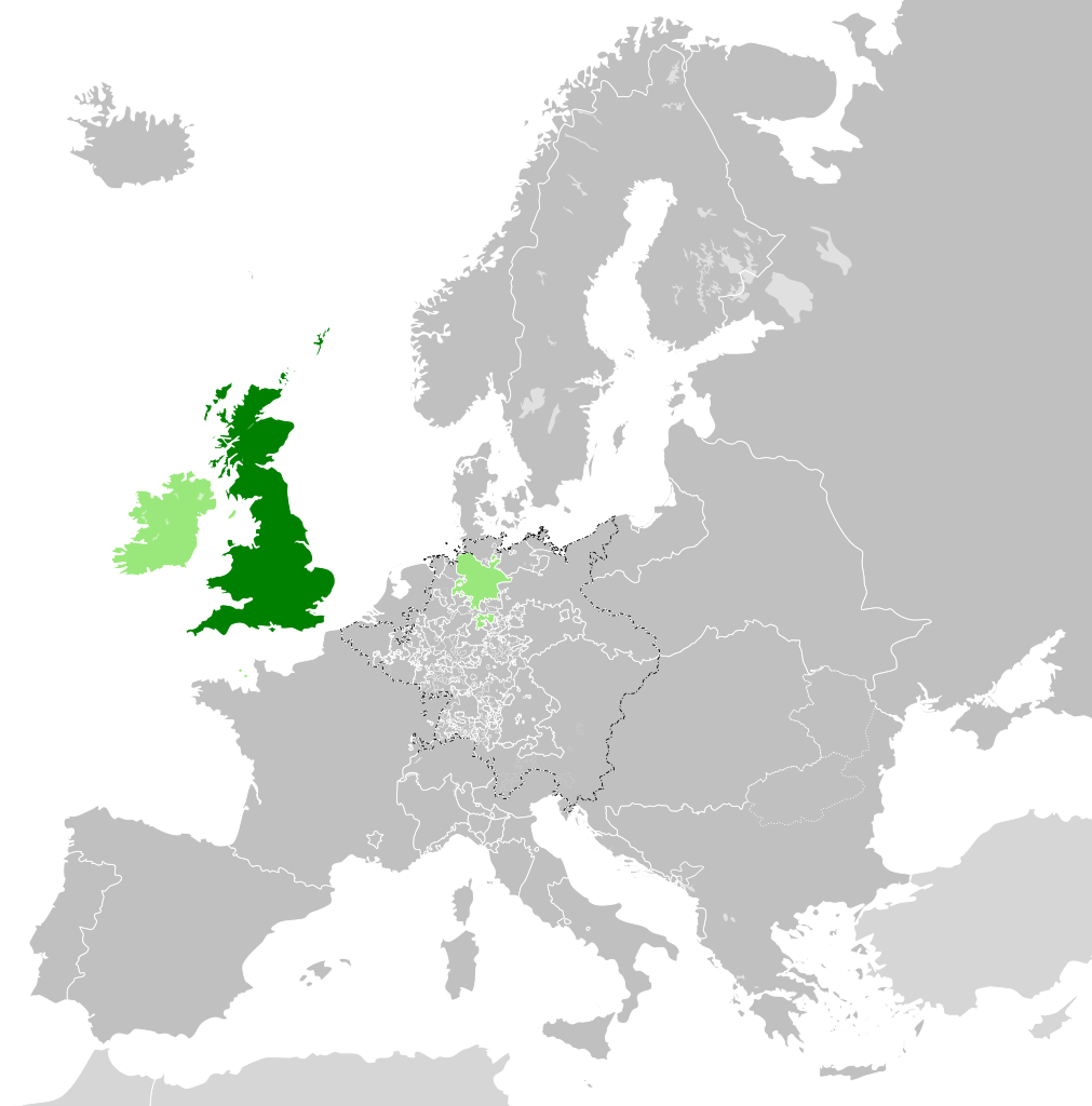
- 2013-04-14T01:33:26Z Alphathon 450x456 (853857 Bytes) == {{int:filedesc}} == {{Information |Description={{en|A blank Map of Europe circa 1789. This map also includes a border for the [[:en:Holy Roman Empire|Holy Roman Empire]]. Since there are so many small German states, they h
Carregada com derivativeFX
Histórico do arquivo
Clique em uma data/horário para ver como o arquivo estava em um dado momento.
| Data e horário | Miniatura | Dimensões | Usuário | Comentário | |
|---|---|---|---|---|---|
| atual | 16h42min de 19 de dezembro de 2023 | | 450 × 456 (848 kB) | wikimediacommons>Iktsokh | Cyprus paler grey |
Uso do arquivo
As seguinte página usa este arquivo:
 " class="attachment-atbs-s-4_3 size-atbs-s-4_3 wp-post-image" alt="O que estudar para o enem 2023">
 " class="attachment-atbs-s-4_3 size-atbs-s-4_3 wp-post-image" alt="Qual melhor curso para fazer em 2023">
 " class="attachment-atbs-s-4_3 size-atbs-s-4_3 wp-post-image" alt="Enem: Conteúdos E Aulas On-Line São Opção Para Os Estudantes">
 " class="attachment-atbs-s-4_3 size-atbs-s-4_3 wp-post-image" alt="Como Fazer Uma Carta De Apresentação">
 " class="attachment-atbs-s-4_3 size-atbs-s-4_3 wp-post-image" alt="Como Escrever Uma Boa Redação">
 " class="attachment-atbs-s-4_3 size-atbs-s-4_3 wp-post-image" alt="Concurso INSS edital 2022 publicado">


.svg)
.svg)
.svg)
.svg)
.svg)
.svg)
.svg)
_cropped.svg)
.svg)
.svg)
.svg)
.svg)
.svg)
.svg)
.svg)
.svg)
.svg)
.svg)
.svg)
.svg)
.svg)
.svg)
.svg)
.svg)
.svg)
.svg)
.svg)
.svg)
.svg)
.svg)
.svg)
.svg)
.svg)
.svg)
.svg)
.svg)
.svg)
.svg)
.svg)
.svg)
.svg)
.svg)
.svg)
.svg)
.svg)
.svg)
.svg)
.svg)
.svg)
.svg)
.svg)
.svg)
.svg)