
Tamanho desta visualização em PNG deste arquivo em SVG: 680 × 520 pixels. Outras resoluções: 314 × 240 pixels | 628 × 480 pixels | 1 004 × 768 pixels | 1 280 × 979 pixels | 2 560 × 1 958 pixels.
Imagem numa resolução maior (arquivo SVG, de 680 × 520 pixels, tamanho: 594 kB)
Descrição do arquivo
| Descrição |
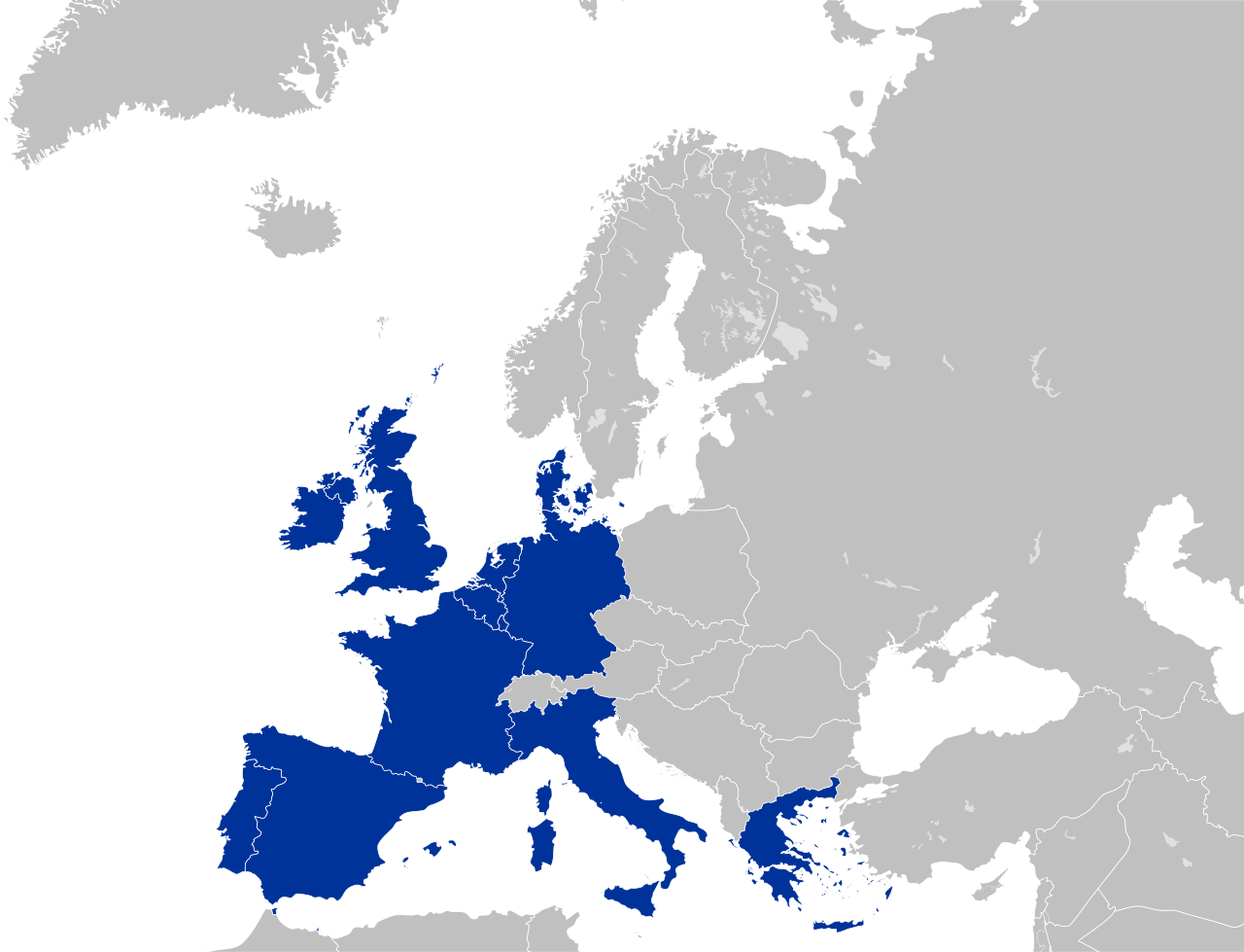
English: European Community (EC 12)
Deutsch: Europäische Gemeinschaft |
| Data | |
| Fonte | Trabalho próprio pelo carregador |
| Autor | Kolja21 |
| Outras versões |
|


Color scheme
- Europe blue / Europablau / azul europeo / bleu européenne (Pantone; RGB 003399): EU current members
- Regent St Blue (RAL 6034; RGB 9ac0cd): Transition period (see Brexit withdrawal agreement)
- Pantone yellow / Gelb / amarillo / jaune (Pantone; RGB ffcc00): EU new members
- Light blue / Lichtblau / azul claro / bleu clair (RGB 2782bb): EU candidate countries
- Light green / Lichtgrün / verde claro / vert clair (RGB 77bbbc): EU potential candidate countries
- Lawngreen / Grasgrün / verde hierba / vert pré (RGB a0e200): EU membership possible
- Orange / Orange / anaranjado / orange (RGB ff6600): Eastern Partnership
- Emerald green / Smaragdgrün / verde esmeralda / smaragdin (RAL 6001; RGB 276d3a): EFTA member states
- Pastel green / Weißgrün / verde blanquecino / vert blanc (RAL 6019; RGB b3d9b4): EFTA former member states
Licenciamento
Eu, titular dos direitos autorais desta obra, publico-a nos termos da seguinte licença:
A utilização deste arquivo é regulada nos termos da licença Creative Commons Atribuição 3.0 Unported.
- Você é livre:
- para compartilhar – copiar, distribuir e transmitir a obra
- para remixar – para adaptar o trabalho
- Sob as seguintes condições:
- atribuição – Você deve dar crédito apropriado, fornecer um link para a licença e indicar se as alterações foram feitas. Você pode fazê-lo de qualquer maneira razoável, mas não de maneira alguma que sugira que o licenciador endossa você ou seu uso.
Histórico do arquivo
Clique em uma data/horário para ver como o arquivo estava em um dado momento.
| Data e horário | Miniatura | Dimensões | Usuário | Comentário | |
|---|---|---|---|---|---|
| atual | 03h03min de 16 de junho de 2016 | | 680 × 520 (594 kB) | wikimediacommons>Turnless | Improved version |
Uso do arquivo
As seguinte página usa este arquivo:
 " class="attachment-atbs-s-4_3 size-atbs-s-4_3 wp-post-image" alt="O que estudar para o enem 2023">
 " class="attachment-atbs-s-4_3 size-atbs-s-4_3 wp-post-image" alt="Qual melhor curso para fazer em 2023">
 " class="attachment-atbs-s-4_3 size-atbs-s-4_3 wp-post-image" alt="Enem: Conteúdos E Aulas On-Line São Opção Para Os Estudantes">
 " class="attachment-atbs-s-4_3 size-atbs-s-4_3 wp-post-image" alt="Como Fazer Uma Carta De Apresentação">
 " class="attachment-atbs-s-4_3 size-atbs-s-4_3 wp-post-image" alt="Como Escrever Uma Boa Redação">
 " class="attachment-atbs-s-4_3 size-atbs-s-4_3 wp-post-image" alt="Concurso INSS edital 2022 publicado">


